Siena -> Buonconvento SIBU 35 km
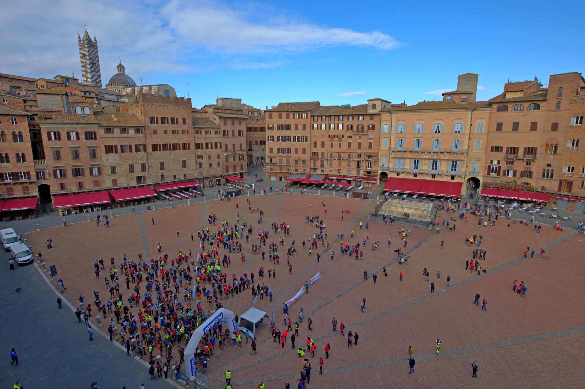
Da Siena, dopo aver attraversato il centro si arriva a porta Romana e si scende in direzione sud est su asfalto e poi su strada sterrata sino alla Certosa di Maggiano (km 2.17) e si continua in leggera discesa sino alla zona del Ruffolo dove si passa sopra la SS 223 di Paganico (km 4.37).
Si prosegue per la strada di Certosa e si supera una rotonda (km 6.9). Al km 8.6 si piega a destra sulla strada di Borgo Vecchio e si è in prossimità della zona industriale di Siena, si attraversa la Cassia in prossimità del colle Malamerenda (km 9.7) e qui si prende il percorso originariamente tracciato da Regione Toscana che porta verso la strada sterrata di Radi; la si segue per un tratto e poi si piega a sinistra (podere Belvedere km 12) risalendo leggermente la collina attraversando una successione di poderi e campi coltivati. Sulla sinistra appare la torre dei pomodori una struttura cilindrica in cemento alta 50 metri, realizzata negli anni 60 per la liofilizzazione del pomodoro e mai entrata in funzione. La torre è visibile da km di distanza ed è diventata un elemento del paesaggio.
Ci si avvicina a Ponte a Tressa (km 15) sino a giungere in prossimità della Grancia di Cuna al km 16.8. La Grancia è un antico granaio fortificato di proprietà del Santa Maria della Scala, attualmente in ristrutturazione. Essa resta a sinistra del percorso che prosegue in direzione sud.
Superato da sopra il comune di Monteroni (km 18.4) si prosegue a mezza costa tra colline coltivate a grano, si passa il Poggio del Cipressino al km 19.7 e si arriva alla località di Quinciano (km 21.9). Attraversata la località Quinciano, si costeggia per un breve tratto la provinciale 34 e poi la si attraversa per immettersi su una sterrata (km 22.5) che costeggia, prima a destra e poi a sinistra, la linea ferroviaria. La si percorre attraversando poderi e allevamenti di chianine e si arriva a Ponte d’Arbia (km 27.6).
Si scavalca l’Arbia sul nuovo ponte pedonale in legno (km 28) e quindi si attraversa la Cassia. Dopo aver fatto qualche saliscendi (tra le zone di Serravalle e Poggiarello) ci si porta in cresta (km 30.9) avendo sulla destra la valle dell’Arbia (e la Cassia) e a sinistra, al di là dell’Ombrone, delle belle vedute della zona delle Crete (sino all’abbazia di Monte Oliveto Maggiore).
Giunti in prossimità del cimitero di Buonconvento si scende (km 32.1) e, dopo un tratto a bordo Cassia, con superamento dell’Ombrone poco prima della sua confluenza con l’Arbia, si costeggia il paese entrando dalla porta settentrionale e percorrendo la strada centrale.
Si attraversa la Cassia e si imbocca la via di Percenna per qualche centinaio di metri; si piega a destra e si imbocca il percorso della Francigena che supera a monte la zona industriale di Monticiano. In corrispondenza della via Ferruccio Parri si scende al ristoro punto di arrivo al km 34.2.
| Lunghezza km | ascesa m | discesa m | quota Max m | quota min m |
| 34,2 | 456 | 643 | 337 | 141 |


